The size of a country plays a huge role in shaping its landscape, climate, and culture. Some countries span massive areas, covering diverse terrains and ecosystems. These vast nations dominate the globe in terms of landmass, making them geographical giants. Let’s take a closer look at the largest countries by area and explore the expansive lands they encompass.
Russia
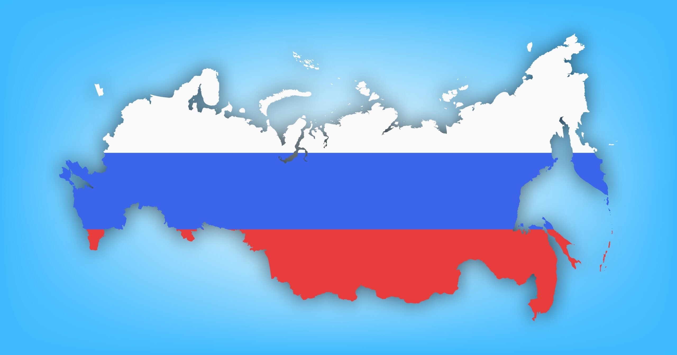
Russia is the largest country on Earth by a huge margin. It spans over 17 million square kilometers. Its landscape stretches from Eastern Europe to the northern reaches of Asia. Russia is home to vast tundras, dense forests, and high mountain ranges. Its size covers 11 time zones, making it truly massive. The country’s extreme size also means it has varying climates, from arctic cold in the north to milder temperatures in the south. Moscow, the capital, lies in the western part of this vast land.
Canada
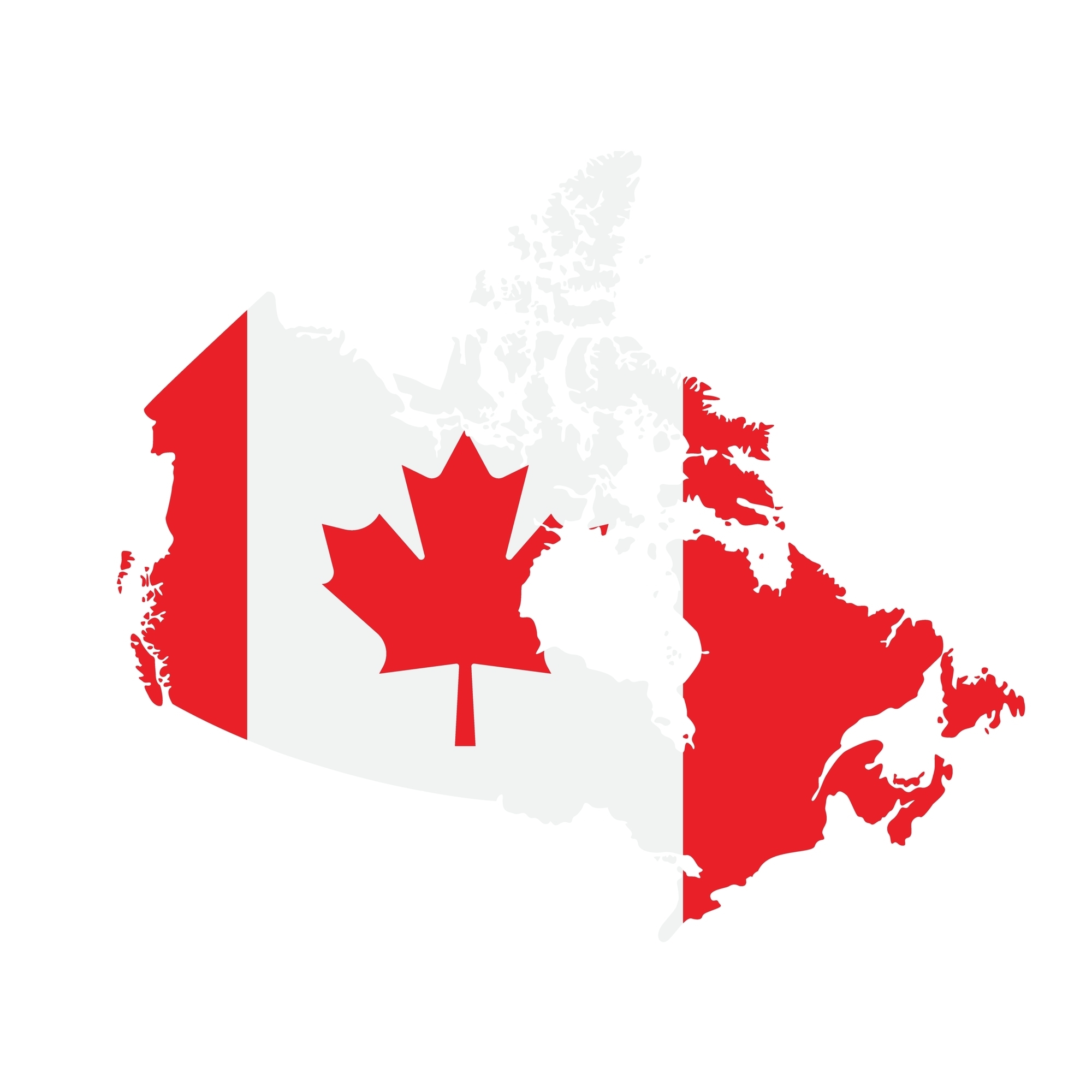
Canada is the second-largest country by area. It covers approximately 9.98 million square kilometers. The majority of its landmass is in the northern part of North America. Forests, mountains, and thousands of lakes define Canada’s landscape. Its northern regions are largely uninhabited due to extreme cold. The southern parts, near the U.S. border, house most of its population. The country’s vast wilderness is a key feature, offering stunning natural beauty.
United States
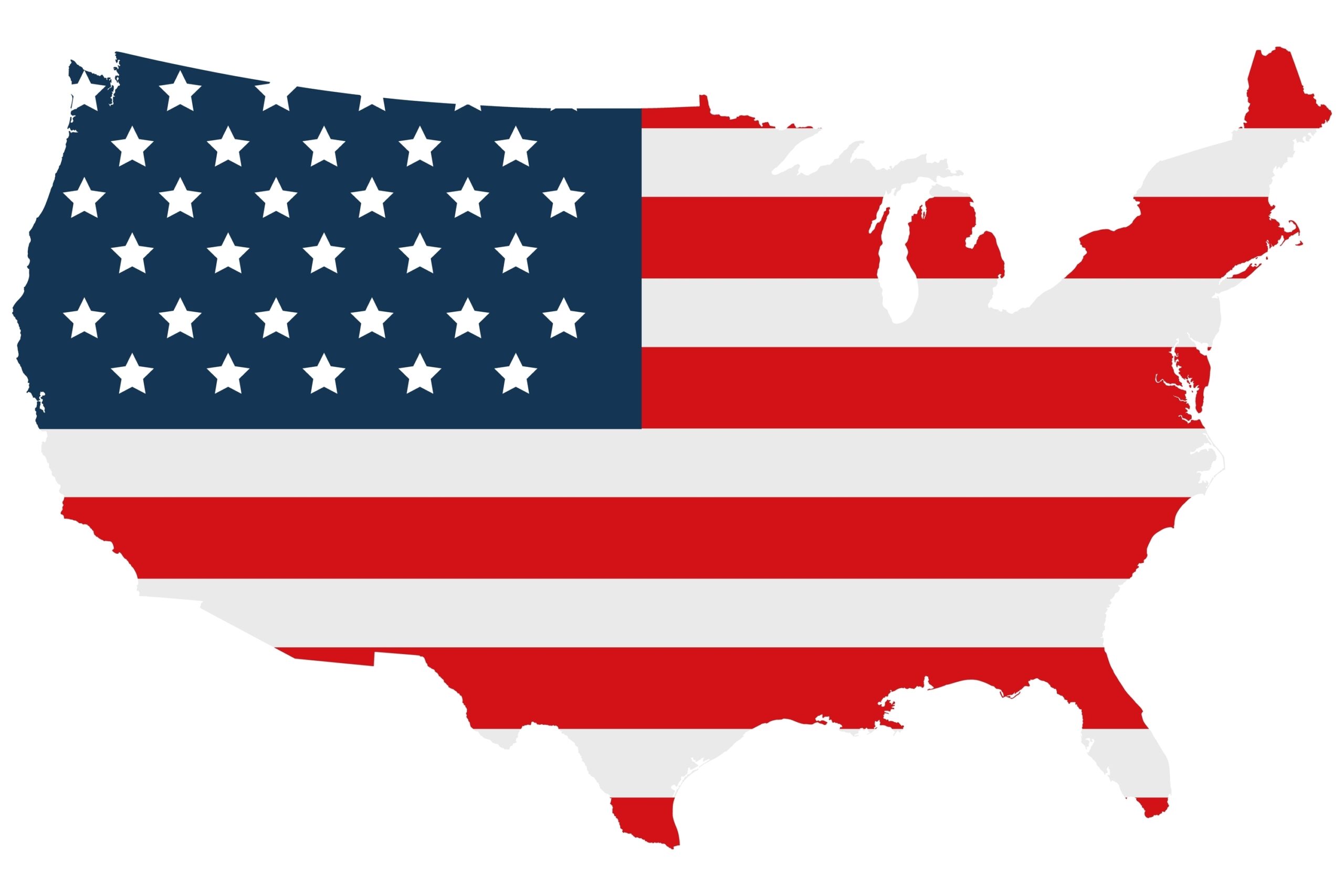
The United States ranks third in the world by size, covering around 9.83 million square kilometers. It stretches across North America from the Atlantic to the Pacific. The U.S. has a variety of landscapes, including deserts, forests, and mountains. Its large size contributes to its diverse climate, from tropical in the south to arctic conditions in Alaska. The country also has multiple time zones, spanning from the eastern states to the western shores.
China

China is the fourth-largest country, covering about 9.6 million square kilometers. It is located in East Asia and is the most populous nation. China’s geography includes high mountains, vast plains, and deserts. Its size supports a range of climates, from the hot tropics in the south to colder regions in the north. The Himalayan mountain range forms its western border. China’s eastern regions are home to most of its major cities and industries.
Brazil
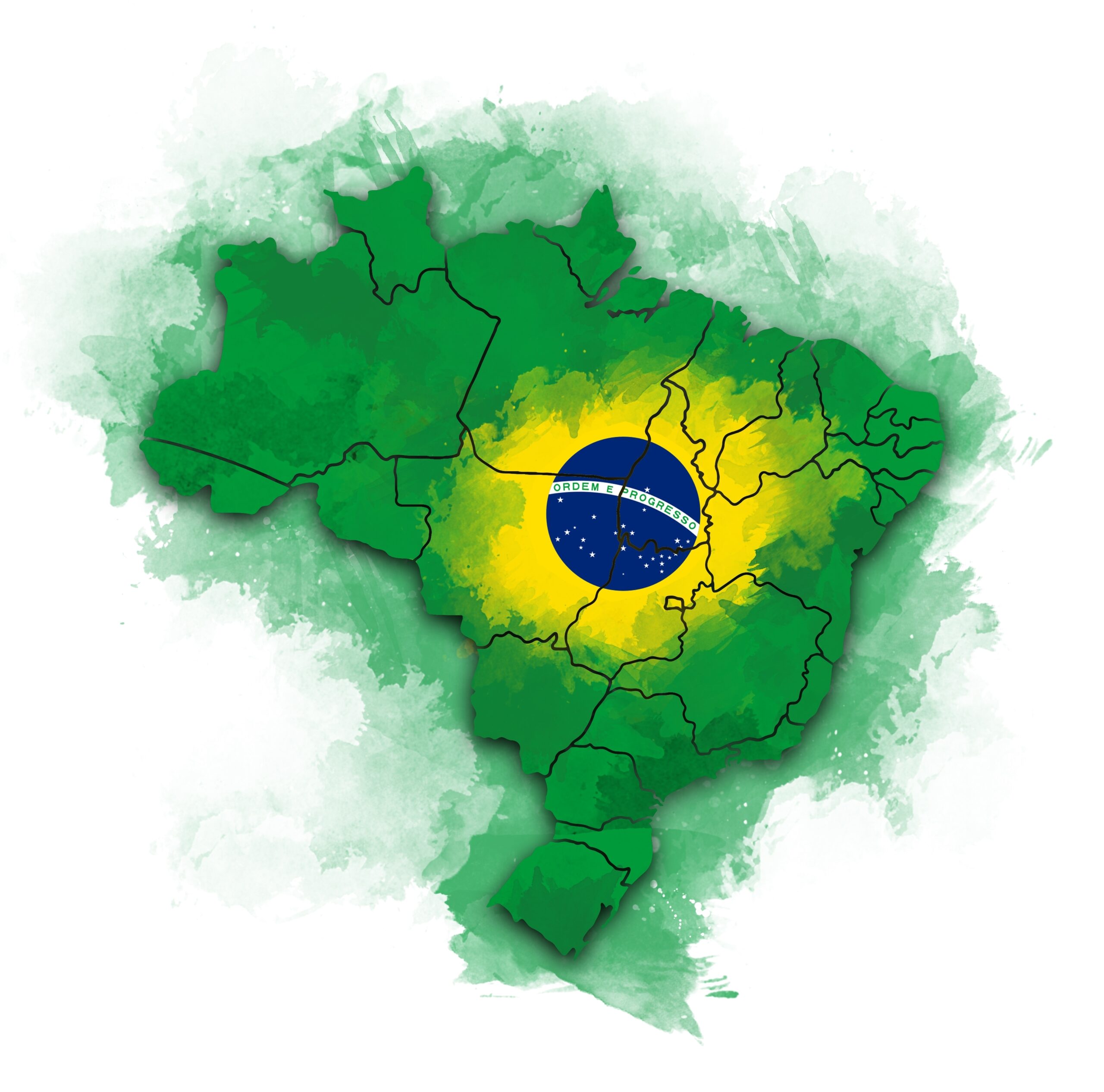
Brazil is the largest country in South America, covering approximately 8.5 million square kilometers. It spans much of the continent’s eastern coast. The Amazon rainforest, the world’s largest, lies within Brazil’s borders. Brazil’s diverse landscape includes mountains, rivers, and forests. Its tropical climate dominates much of the country. Most of Brazil’s population is concentrated along the coastline. The Amazon River is a major feature of this vast country.
Australia
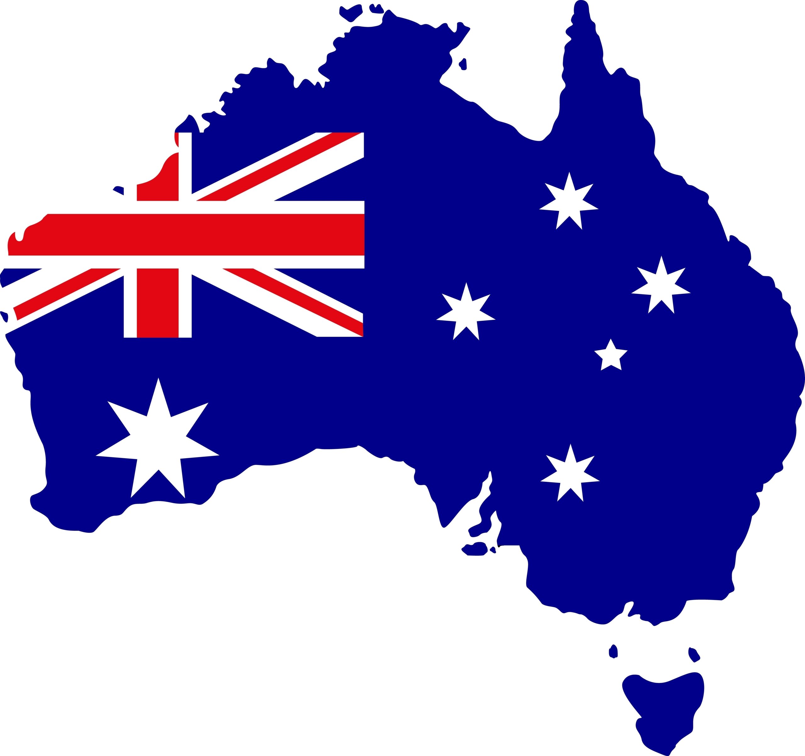
Australia, the sixth-largest country, covers about 7.69 million square kilometers. It is the only country that is also a continent. Its landscape ranges from arid deserts to tropical rainforests. The majority of the country is sparsely populated. Coastal regions are home to the major cities, like Sydney and Melbourne. Australia’s Great Barrier Reef is a world-famous feature off its northeastern coast. The Outback, a vast desert, dominates the country’s interior.
India
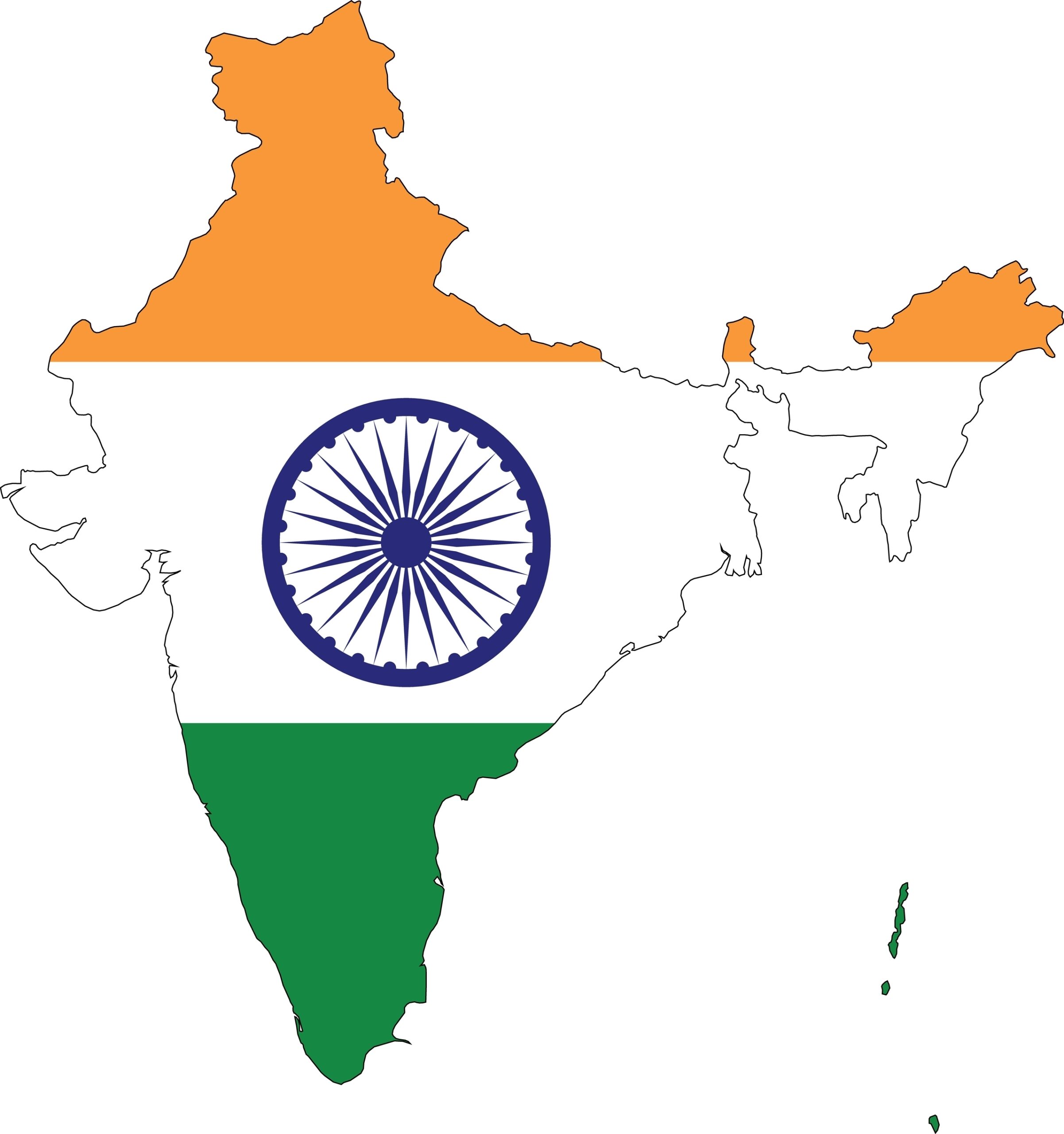
India is the seventh-largest country by area, covering approximately 3.29 million square kilometers. It is located in South Asia and bordered by several countries including China and Pakistan. India has a diverse landscape, from the towering Himalayas in the north to the flat plains of the Ganges. The country’s vast size also includes deserts, forests, and coastlines. Its climate varies greatly, with tropical conditions in the south and colder temperatures in the north. India’s population is one of the largest in the world, concentrated in major cities like Mumbai and Delhi.
Argentina
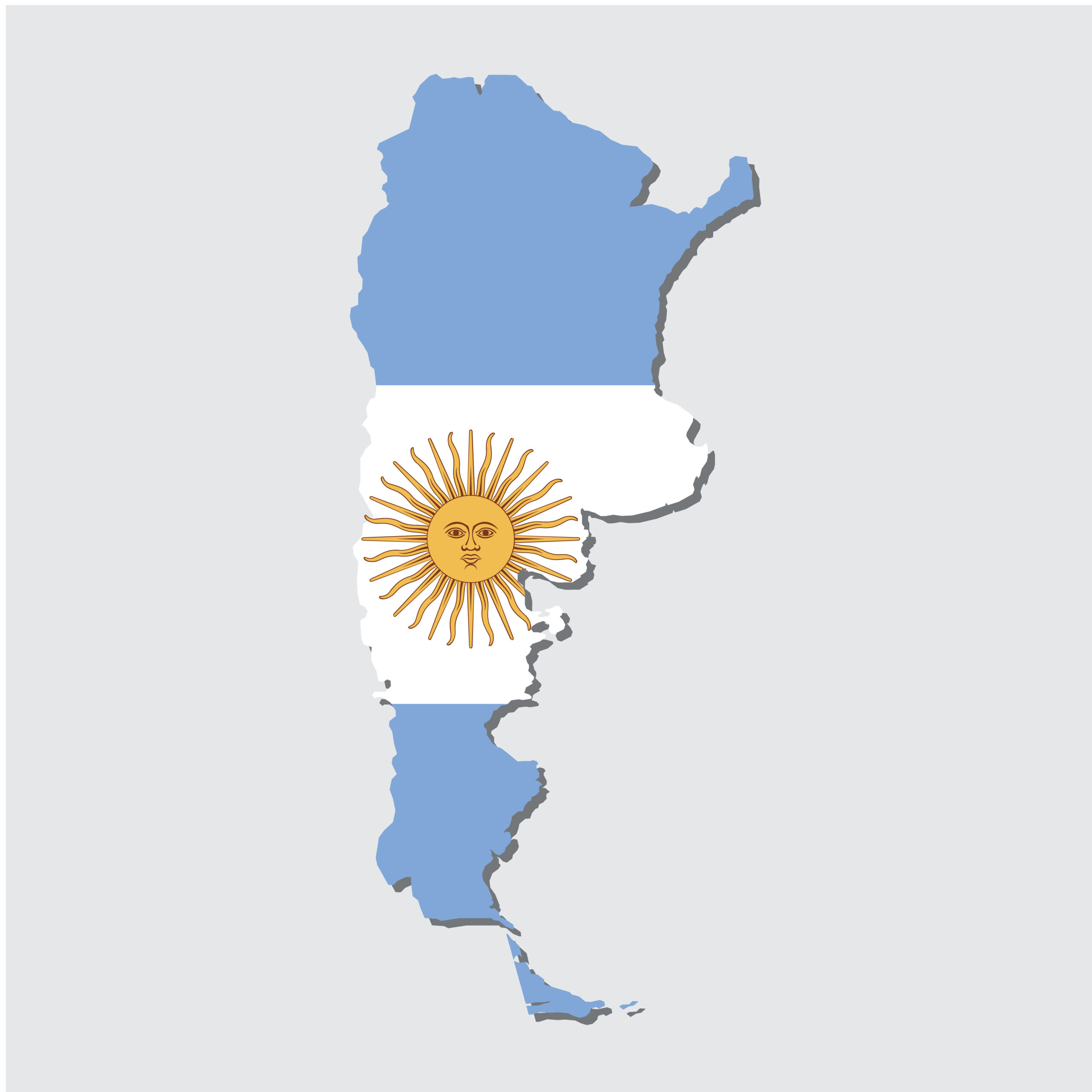
Argentina is the second-largest country in South America. It covers about 2.78 million square kilometers. The country’s geography includes diverse landscapes, from the Andes mountains to the Pampas plains. Argentina also features Patagonia, a vast region of deserts and glaciers. Its coastline runs along the South Atlantic Ocean, providing access to rich marine resources. Buenos Aires, its capital, lies on the eastern coast. This large nation enjoys a wide variety of climates due to its size.
Kazakhstan
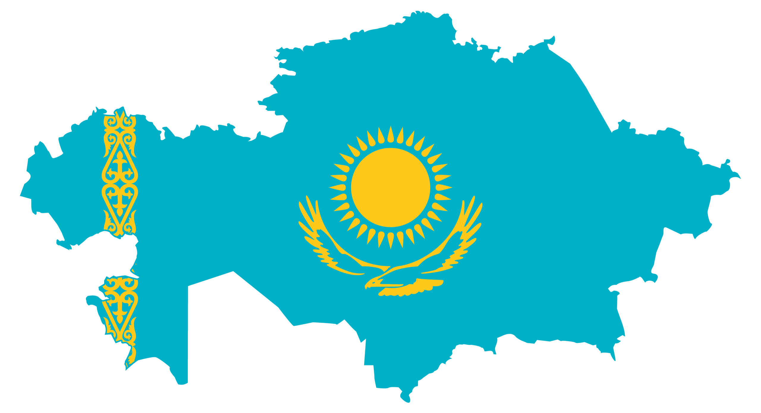
Kazakhstan is the largest landlocked country in the world. It spans 2.72 million square kilometers. Located in Central Asia, it borders both Russia and China. Kazakhstan’s landscape features vast steppes, deserts, and mountains. The country also boasts several large lakes, including the Caspian Sea, the world’s largest inland body of water. Kazakhstan has a continental climate, with hot summers and cold winters. Its capital, Astana, is situated in the northern part of the country.
Algeria
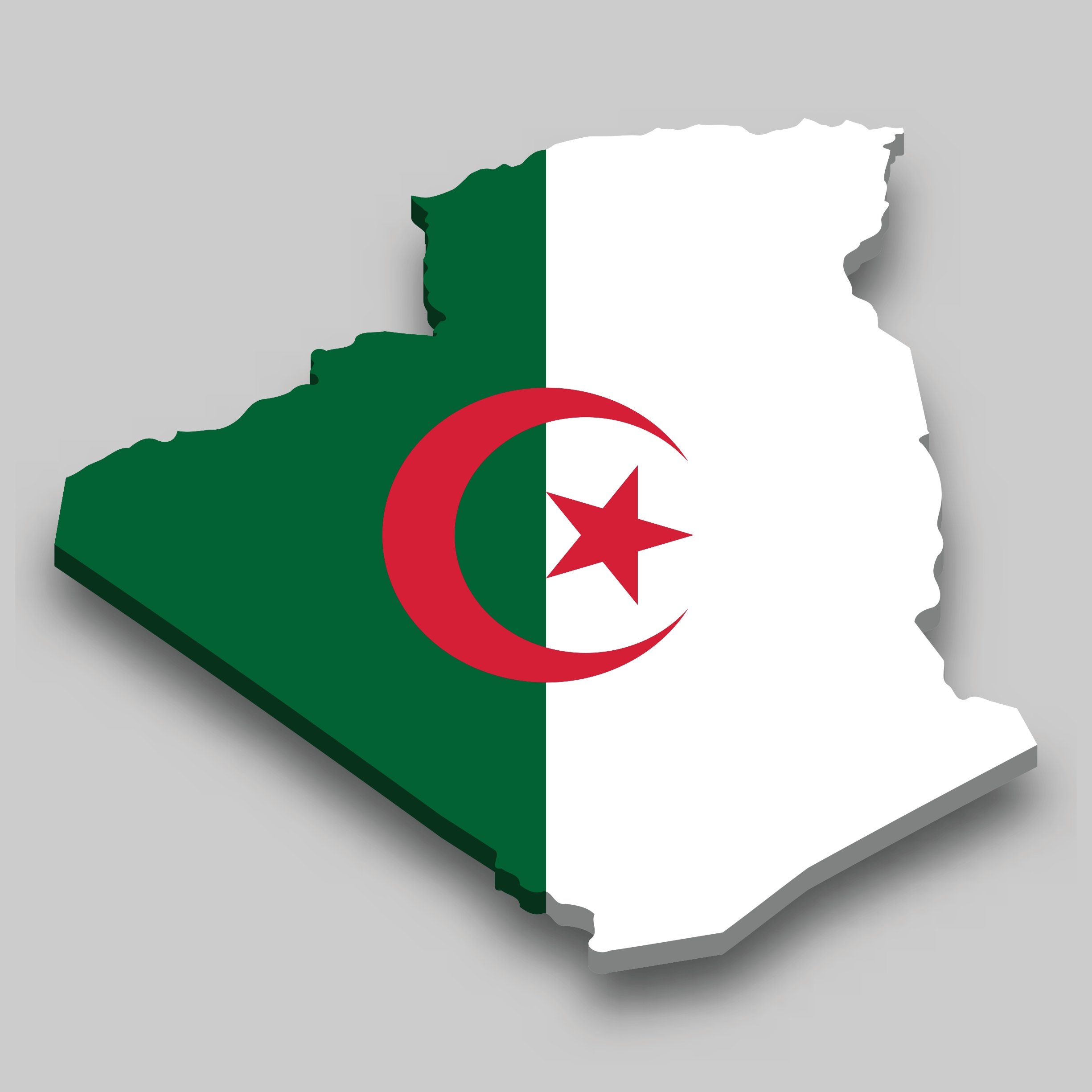
Algeria is the largest country in Africa. It covers 2.38 million square kilometers. The majority of its landmass lies within the Sahara Desert. Algeria’s northern region is more fertile, with Mediterranean coastlines and mountain ranges. The country’s southern regions are mostly barren desert. Algeria has a dry climate, with very little rainfall in most areas. The capital, Algiers, sits along the Mediterranean coast. This vast nation plays a key role in the energy sector due to its oil and gas reserves.
Democratic Republic of the Congo
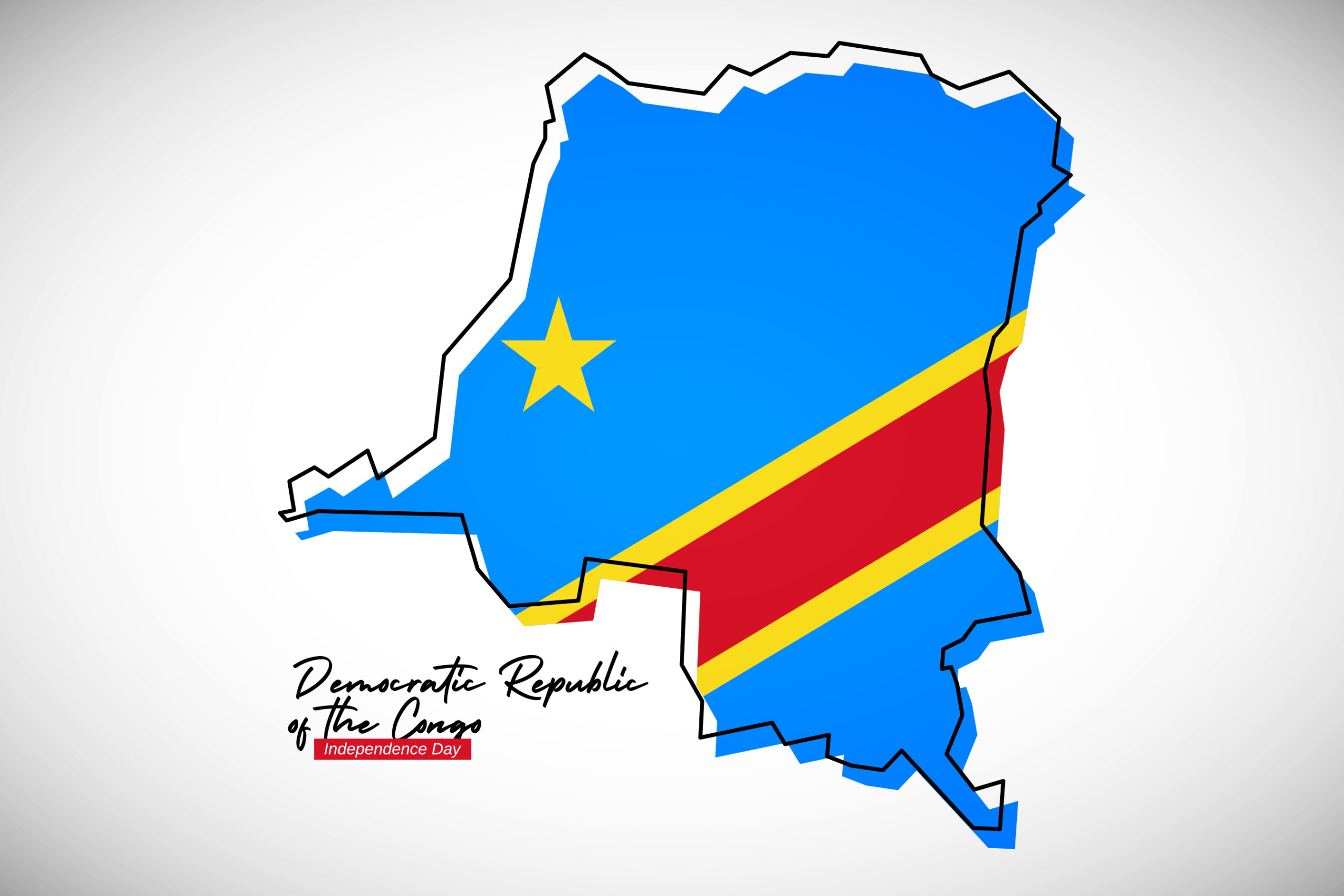
The Democratic Republic of the Congo is the second-largest country in Africa. It covers around 2.34 million square kilometers. Dense tropical rainforests dominate much of its landscape. The Congo River, the second-longest in Africa, flows through its central region. The country’s terrain also includes mountains, savannas, and swamps. Its climate is mostly equatorial, with high humidity and heavy rainfall. Kinshasa, the capital, lies on the western edge of the country. This vast nation is rich in natural resources, including minerals and forests.
Greenland (Denmark)
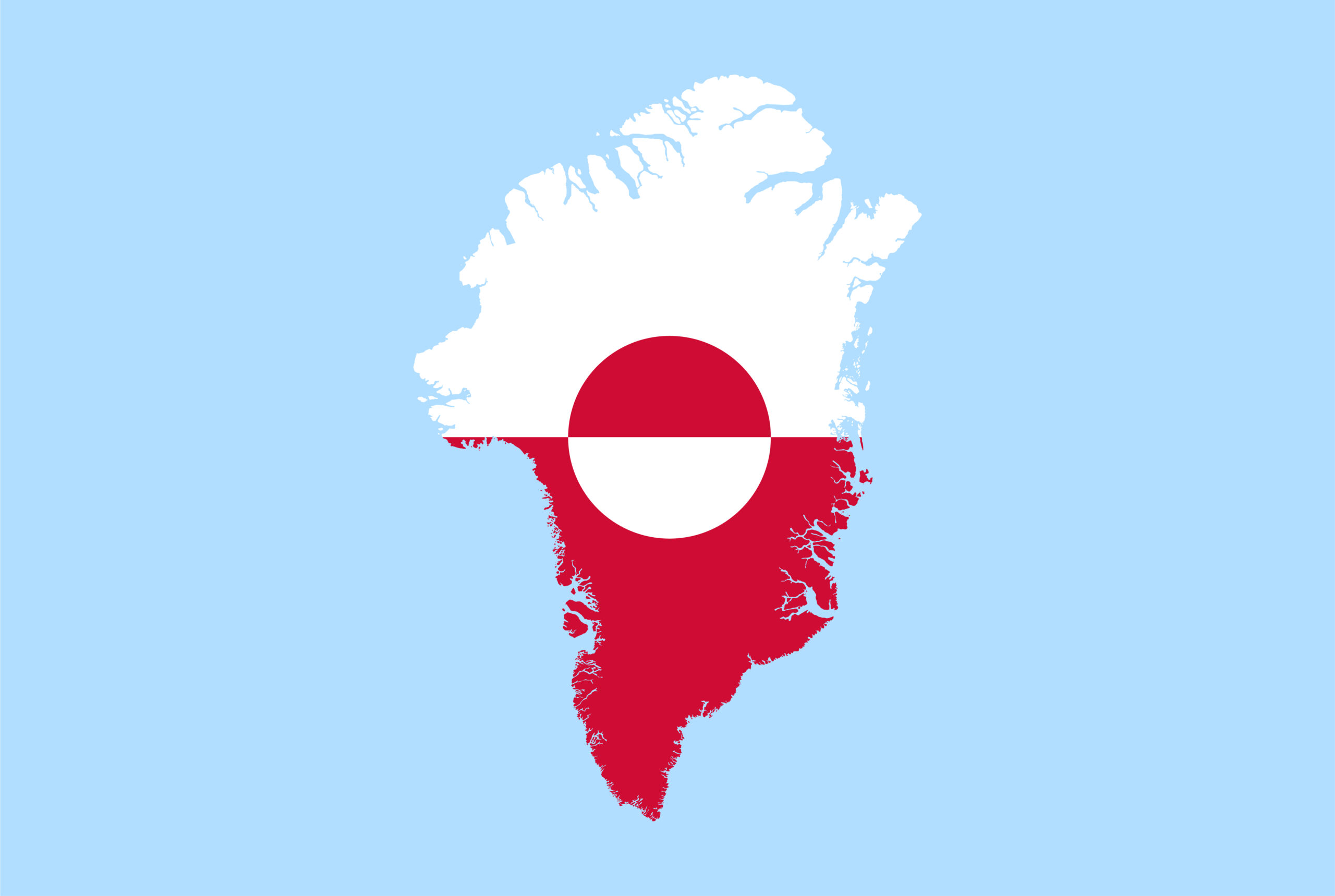
Greenland is the largest island in the world. It spans 2.16 million square kilometers, though much of it is covered by ice. Politically, it is part of the Kingdom of Denmark. Greenland’s landscape features massive glaciers, icebergs, and rocky coastal areas. Its population is concentrated along the southwestern coast, where the climate is less extreme. Despite its icy landscape, Greenland plays an important role in Arctic exploration. The island has a subarctic and arctic climate, with long, harsh winters and short, cool summers.
Saudi Arabia
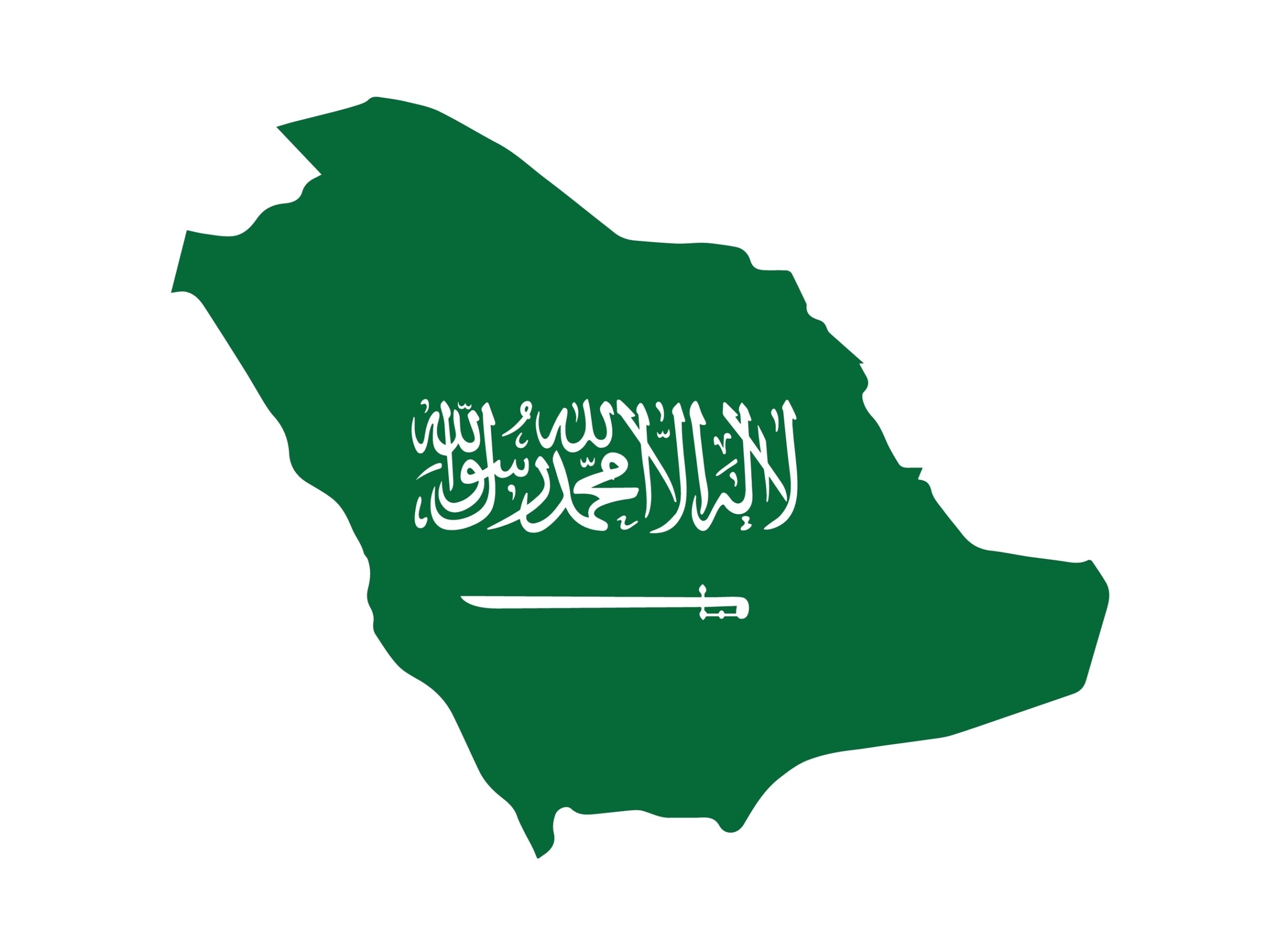
Saudi Arabia is the largest country in the Middle East. It covers about 2.15 million square kilometers. Most of its land consists of arid deserts, including the Rub’ al Khali, the world’s largest sand desert. Saudi Arabia also has mountain ranges along its western and southwestern regions. The country’s coastline stretches along both the Red Sea and the Persian Gulf. Riyadh, the capital, is located in the central part of the country. Saudi Arabia has a desert climate, with extremely hot summers and mild winters.
Mexico
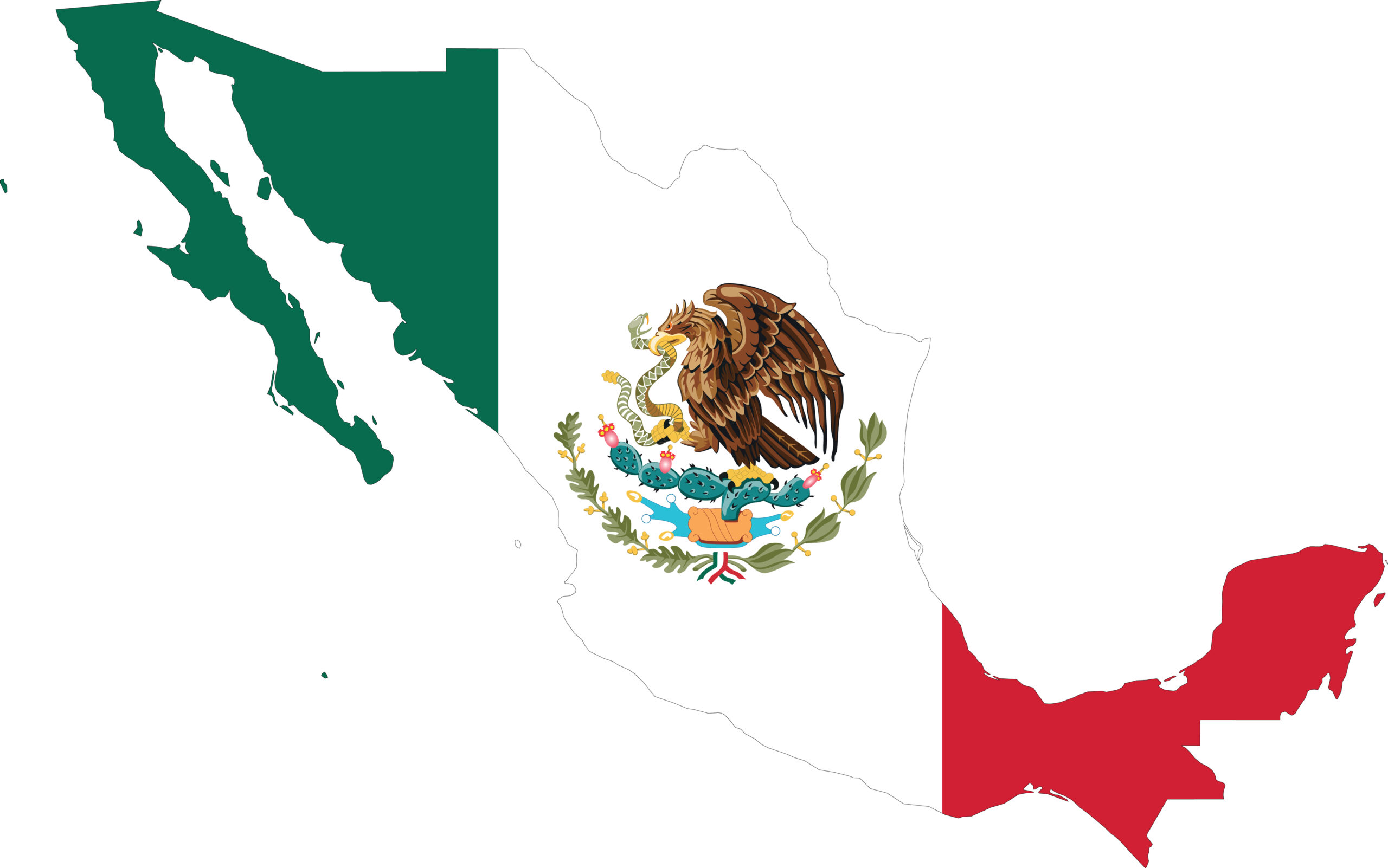
Mexico is the largest country in Central America. It spans around 1.96 million square kilometers. Mexico’s terrain includes mountains, deserts, and rainforests. Its coastline runs along both the Pacific Ocean and the Gulf of Mexico. Mexico’s central region is dominated by the Sierra Madre mountain ranges. The country enjoys a varied climate, from tropical regions in the south to arid deserts in the north. Mexico City, the capital, is one of the largest cities in the world. Mexico’s large size and diverse geography make it a key player in North America.
This article originally appeared on Rarest.org.
More from Rarest.org
14 Surreal Glaciers with Uncommon Structures and Colors
Glaciers are not only awe-inspiring for their size but also for their incredible natural beauty. Read More.
12 Classic Cars Abandoned in Barns Now Worth Millions

Classic cars often carry a unique charm, but some of the most iconic ones have been left abandoned in barns, forgotten for decades. Read More.
13 Bizarre Volcanic Landscapes Shaped by Time and Erosion
Volcanic landscapes are some of the most striking and mysterious places on Earth. Over time, these natural wonders have been sculpted by powerful forces, creating formations that seem otherworldly. Read More.
